
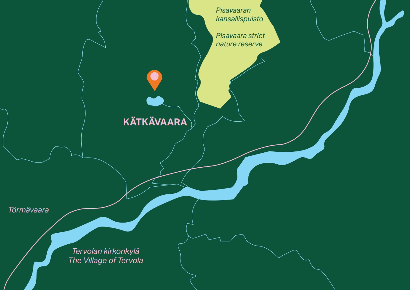
Kätkävaara stands over 180 meters above sea level. Biogeographically this area belongs to a zone between Northern Ostrobothnia and the geographical Lapland, which starts to the north of this area.
Here from the top of the hill, if you look to northeast you can see the Pisavaara Strict Nature Reserve. The hill with a mast in south-southeast is Törmävaara. If you look to south in a clear weather you can see the tower of Tervola’s big church and also the smokes from Kemi’s factories rising on the horizon. The round-topped hill you can see in north-northeast is Karhujupukka.